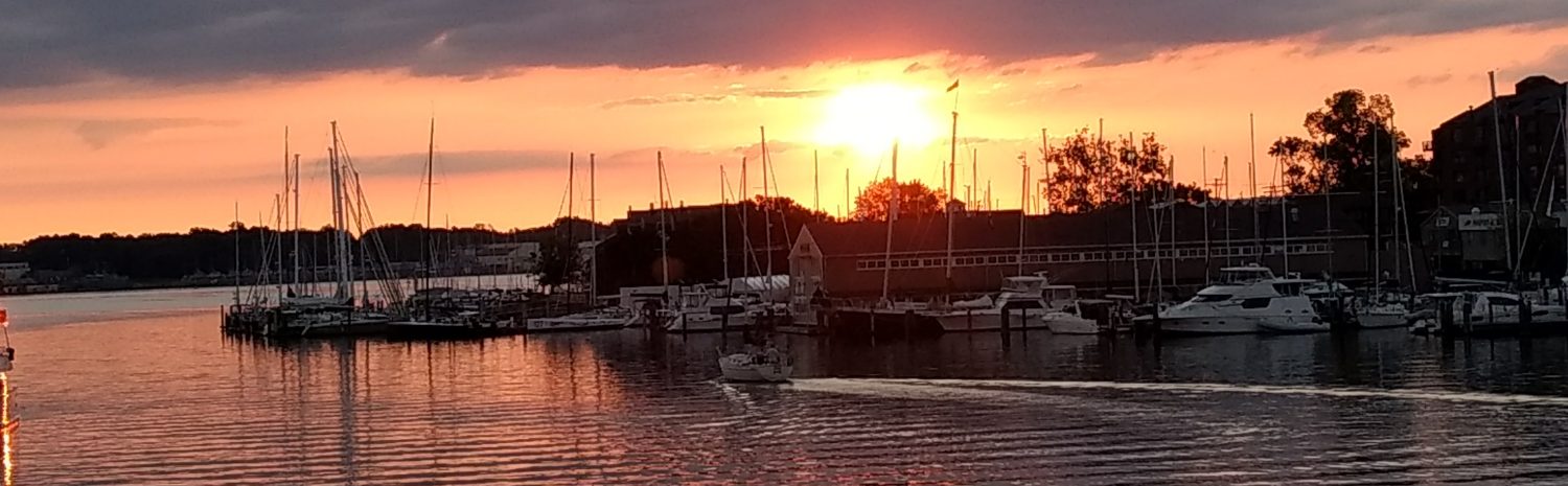
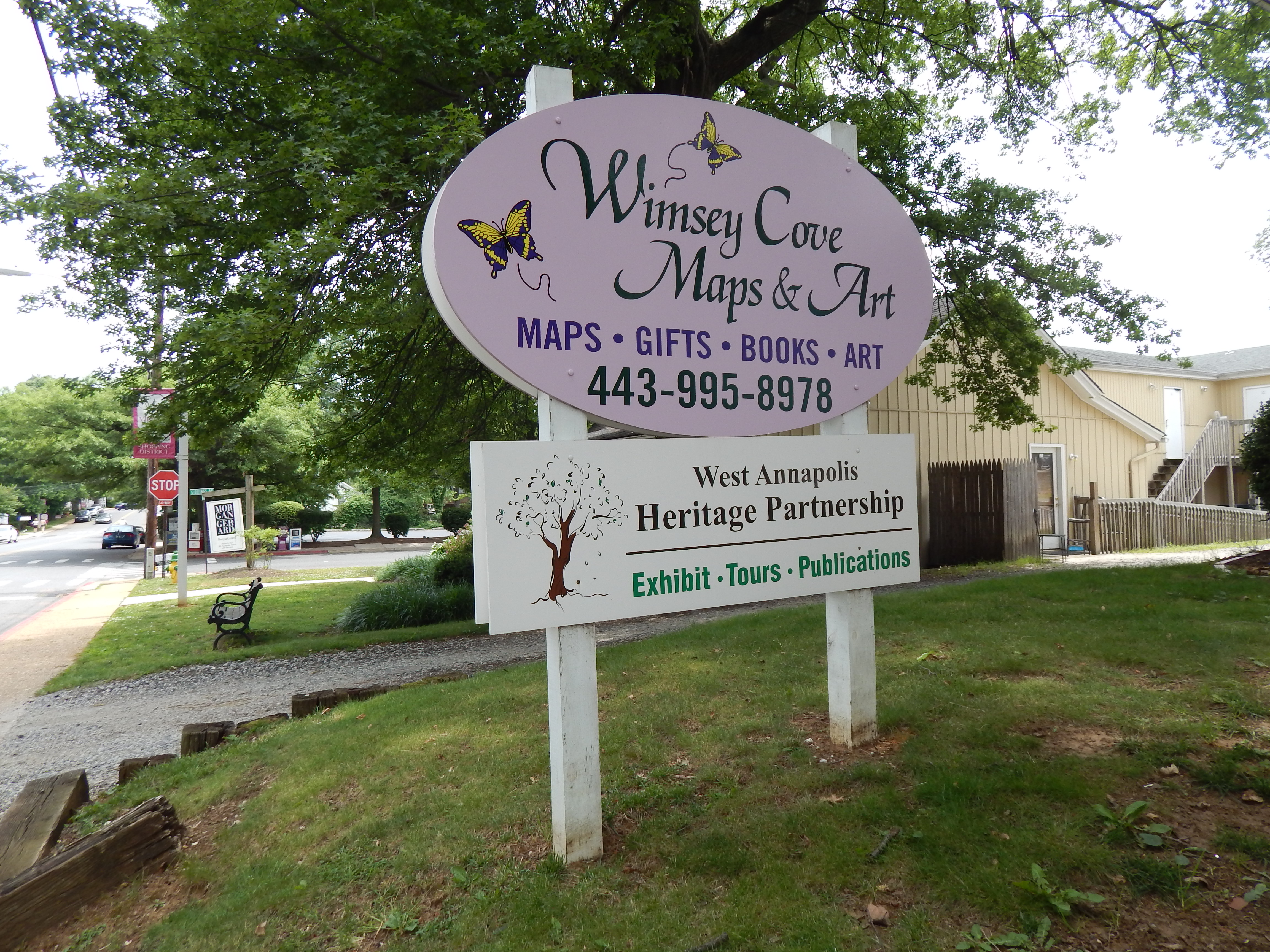
It is amazing that people could draw accurate maps before GPS and satellite imaging. But they did. Cartography is the study and the practice of making maps. Drawing maps has been traced as far back as the 7th millennium BCE. Early cartographers used parchment and brushes to draw the maps. These maps were not readily available to the general population. Whimsey Cove Maps & Art, in West Annapolis, carries reproductions of old maps and I was interested in looking at old maps of the Chesapeake Bay area. They have maps of Virginia when West Virginia was still part of Virginia.

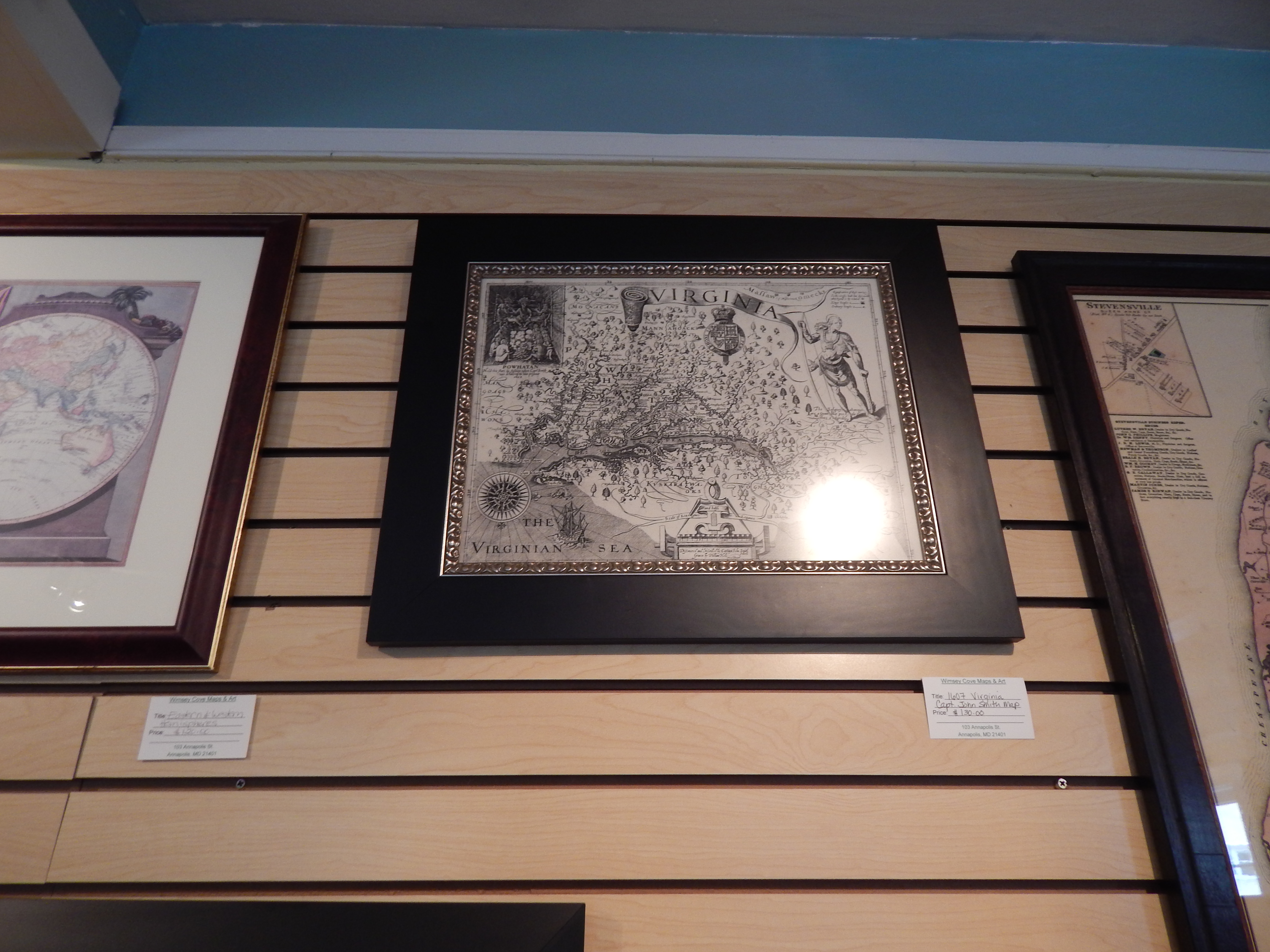
And an older map of early Virginia.
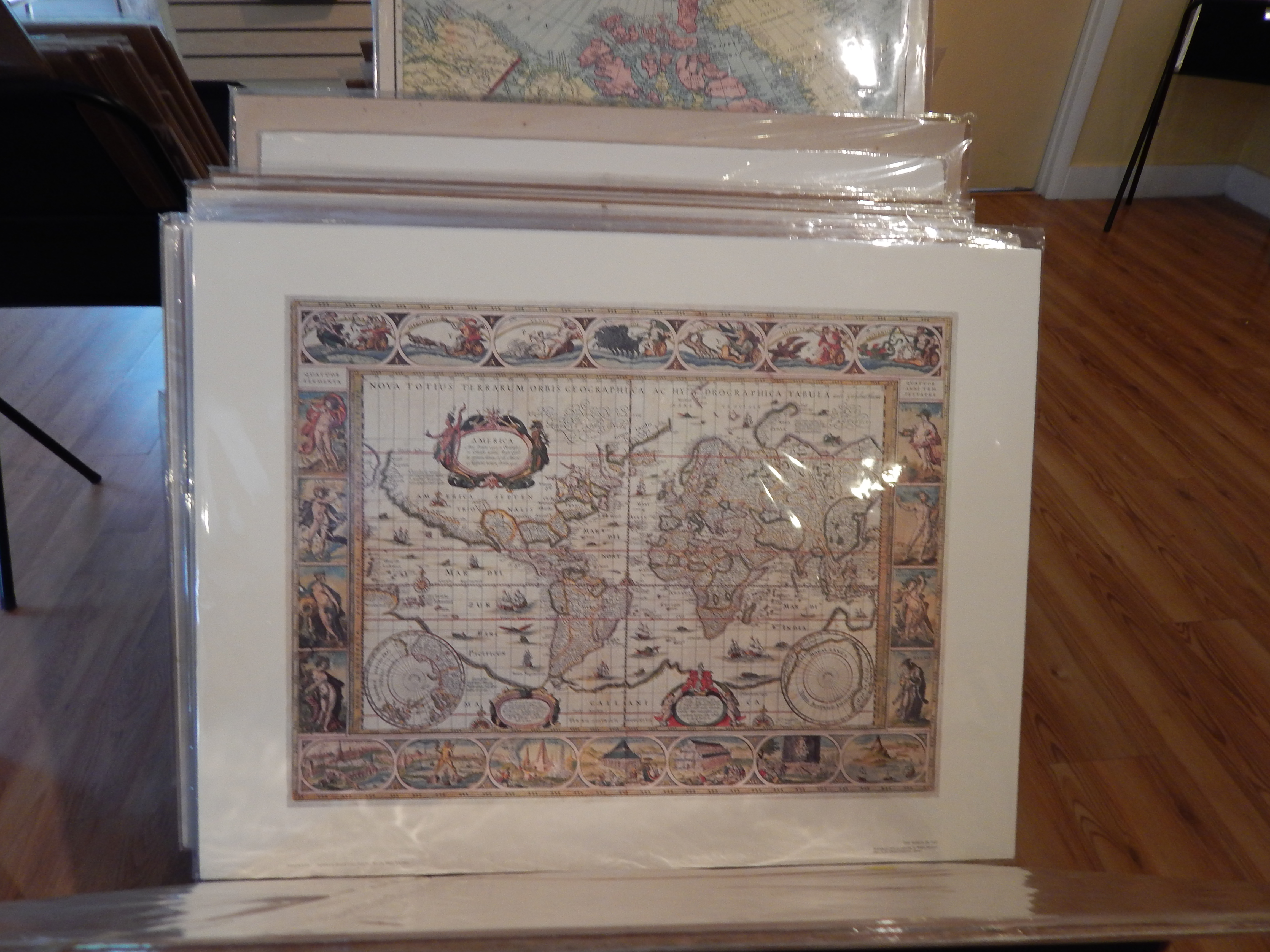
Look at the detail the cartographer added to the map. They are more than a map, they are a piece are art.


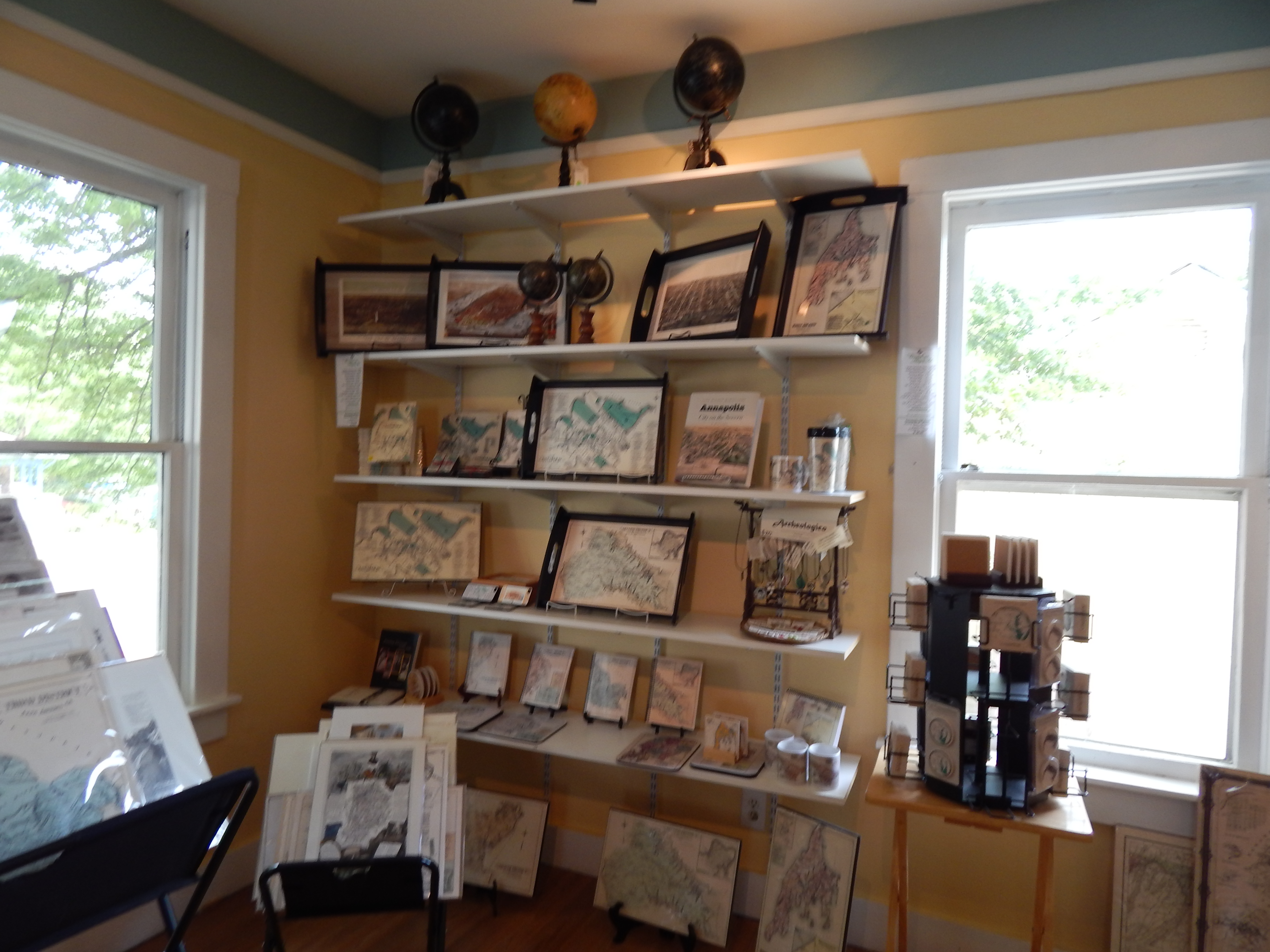
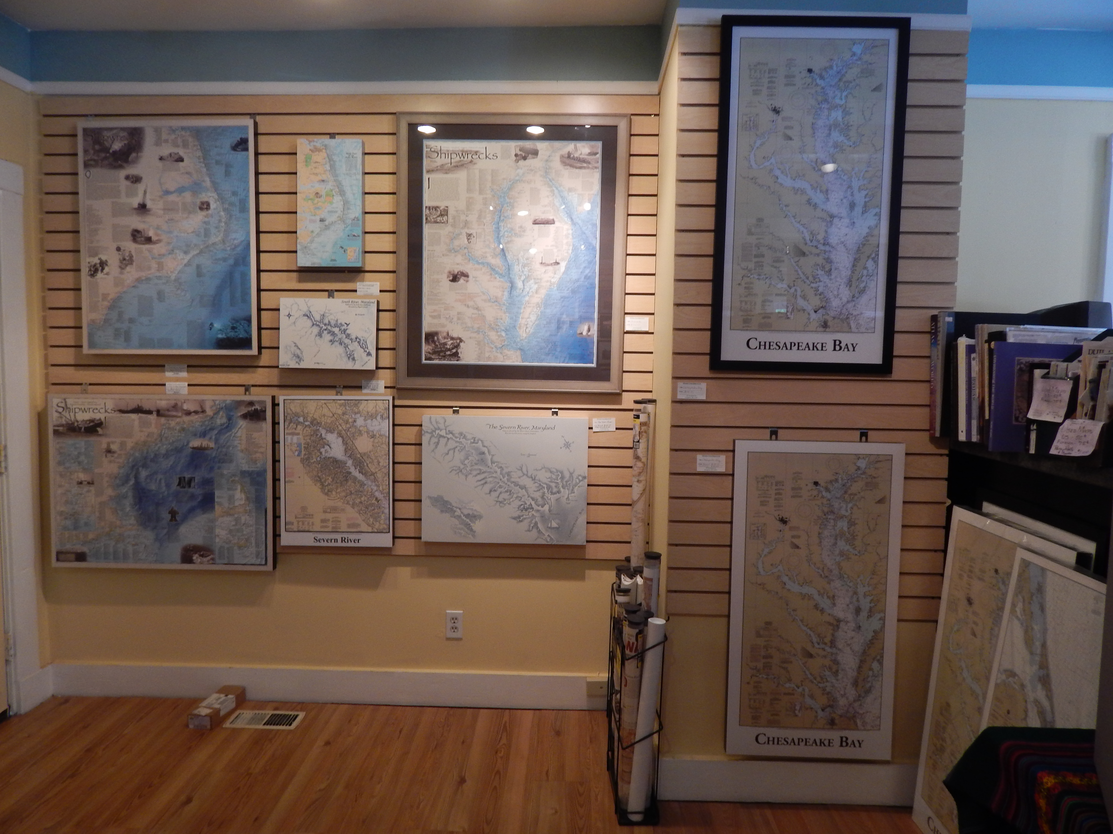
Here are a few maps of the bay area. Whimsey Cove shows us how to use maps as artwork in our homes.
Create,
Dee
